Research Capabilities
Landscape Ecology and Remote Sensing
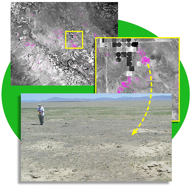
Effective rangeland monitoring in the western U.S. is challenging because land areas are huge (the BLM alone manages 264,000,000 acres), environmental conditions are subject to rapid and continuous change, there are multiple land uses and stakeholders interests, and financial resources to conduct monitoring are limited. PNNL researchers have developed tools to increase both the efficiency and effectiveness of rangeland monitoring, using a monitoring strategy that combines the broad area coverage and low unit costs available through remote sensing with data fusion methods that invoke both statistical and GIS-based analytical tools.
Recent research includes:
- Characterizing sage canopy cover using imagery from either airborne or satellite-based sources
- Integrating imagery and field data to estimates and extrapolate landscape characteristics
- Using remote sensing to monitor the spread of cheatgrass

